Every claim,traceable to theland and people it came from.
Straatos is the system of record and intelligence for nature-based projects. Field data, satellite analysis and community evidence held in one chain, from the first measurement to the credit a buyer trusts.
 MANGROVE IO · RESTORATION PLOTS
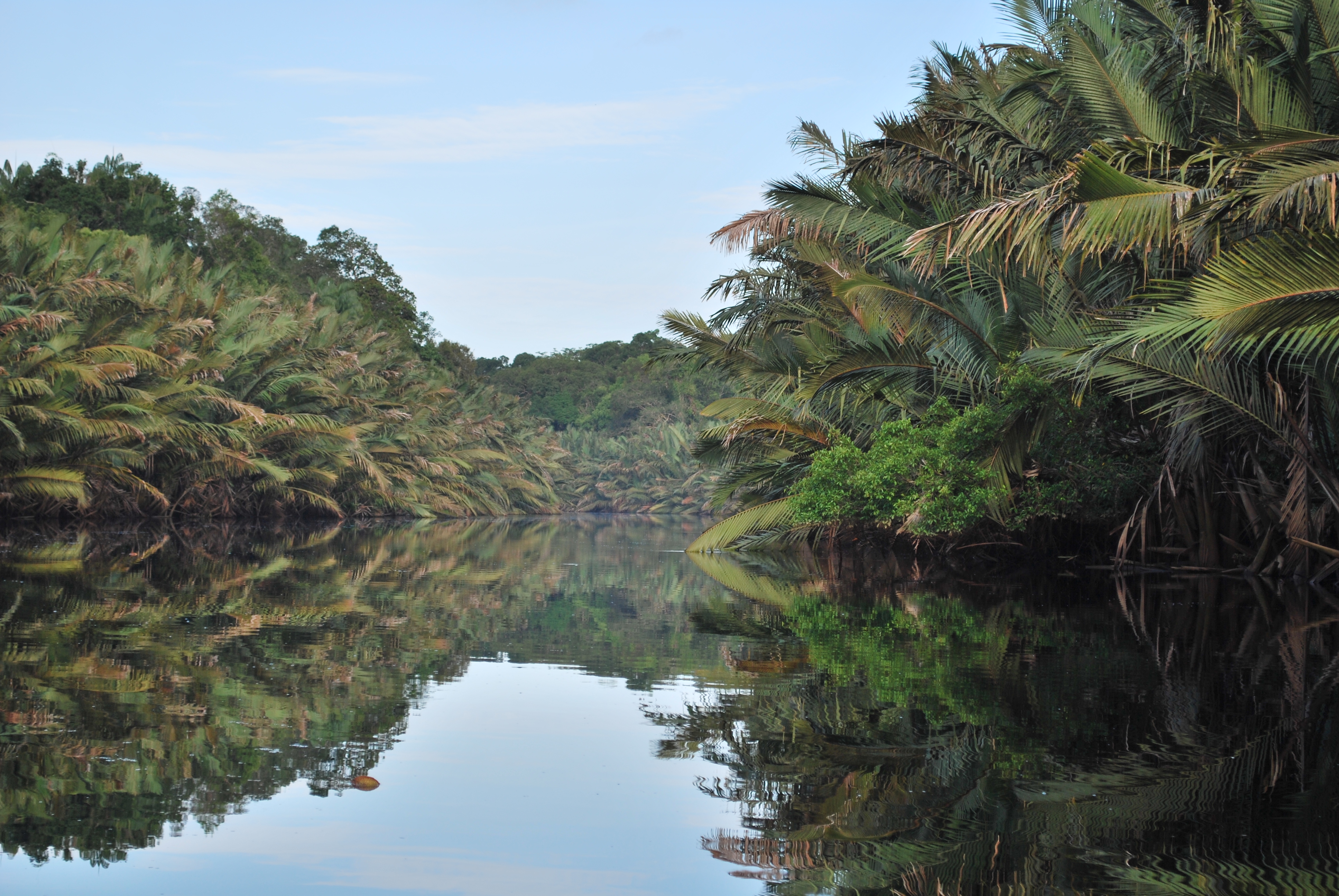
As project teams handle their daily work and tools, Straatos holds the records together.
Straatos helps project teams ingest, compile, manage, analyse and report every piece of information a climate project produces. It turns scattered field apps, GIS, satellite and registry tools into one structured record, with the evidence chain preserved and every view scoped to who is looking.
Pull every system and source into one place.
Field apps, GIS, satellite, labs and registries each do what only they can. Straatos consolidates their outputs into a single project record, with no re-entry and no parallel copies.
Capture what was never digital before.
Guided, methodology-adjusted forms turn paper, field notes and local knowledge into structured records. They work offline in the field and sync when there is signal.
Linked records, scoped to who is looking.
Role-based access and permissions decide who sees what. Linked data subjects keep every activity tied to its stakeholder or location, so you follow it over time instead of across spreadsheets.
Read the project with the chain preserved.
Biomass, biodiversity and community signals, visualised and monitored against the same geometry, so every figure answers back to the plot, the sensor and the day it was read.
One record, every kind of output.
Registry packages and credit issuance, investor reporting and stakeholder engagement, all assembled as you work. Built to exchange data two-way with the systems around you, not to replace them.
Modular software. Granular data. Shaped to any methodology you run.
Accountability through Digital Inclusion
Straatos connects all climate project stakeholders. It serves as digital public infrastructure to develop context-appropriate tools for all parties.
The operating system project teams work in every day.
Preparation, operations, monitoring, engagement, reporting and submission. The project, run end to end.
The surface for the people who watch from the ground.
Community monitors, NGOs and independent observers. Mobile-first, low-bandwidth, built for the field.
The record stays close to the land it represents.
Communities, field officers and monitoring teams are the primary source of truth about what is happening on a project. Straatos is built to make their knowledge structured, comparable and durable, and to put production-grade infrastructure in the hands of the teams running the work, not just the auditors reviewing it.
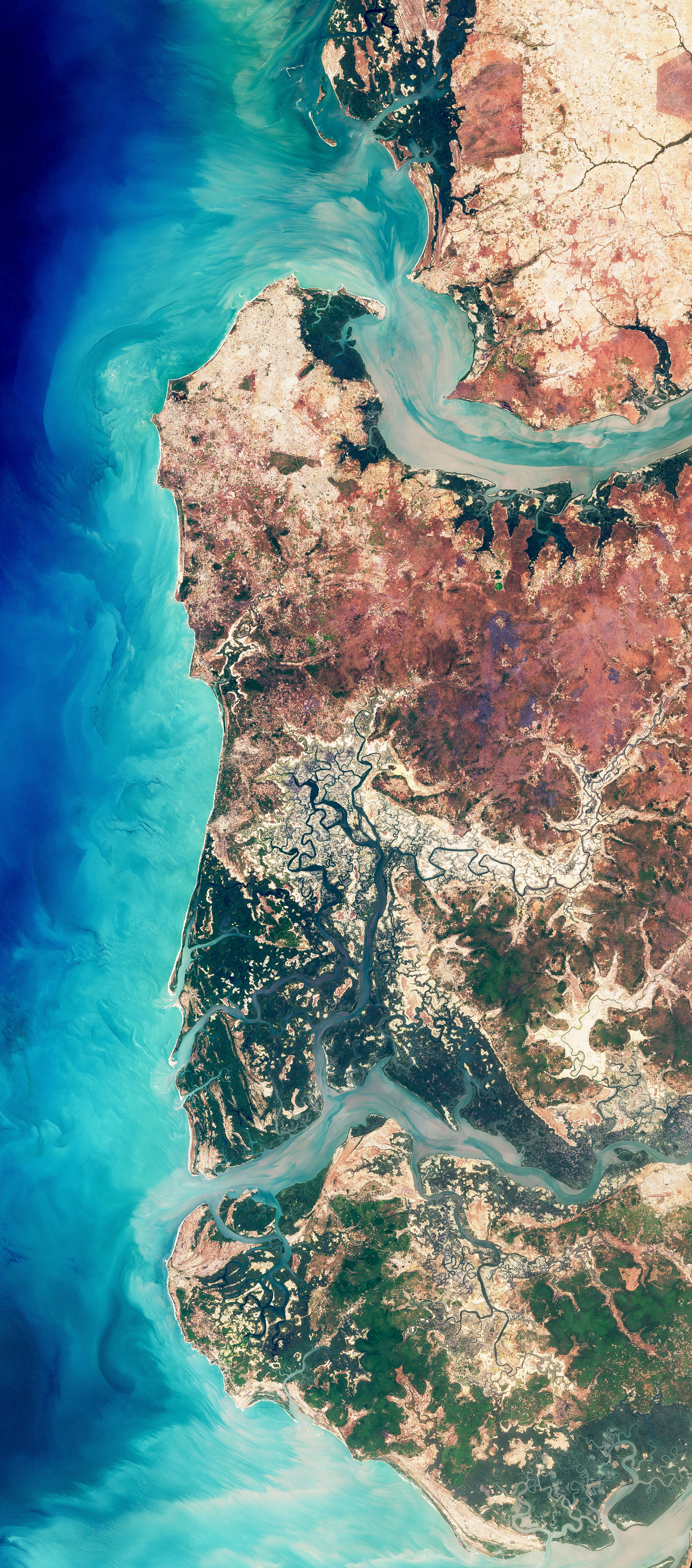
 Congo Basin rainforest · restoration extent
 Savanna · agroforestry baseline
 Atlantic Forest · monitoring transect
The people closest to the land are the first source of truth.
Critical value chains like carbon and biodiversity need shared digital infrastructure, not another generation of point tools. Straatos is the first instance to ship at scale.
Run your next project on infrastructure that holds.
Book a demo to see the record end to end, or talk to us about a pilot, a partnership, or building your own surface on the foundation.